
EDGARTOWN
Impacts Projected to Occur By 2050
DEVELOPED COAST
PROPERTY DAMAGE A 10-year storm in Edgartown may flood up to 757 structures (10%), while a 100-year storm may flood more than 1,107 (15%) [CIT. 3]. At risk commercial waterfront district areas include numerous docks, restaurants, shops, and residences, as well as Chappaquiddick Ferry infrastructure.
ROAD FLOODING An estimated 49 miles of roadway (17%) could flood in a 10-year storm, and about 71 miles (25%) in a 100-year storm [CIT. 3]. At significant risk are Atlantic Drive, Beach Road, Bend in the Road/State Beach Road, Chappaquiddick Road, Main Street, and Dock Street. A climate vulnerability assessment commissioned by The Trustees shows Dike Bridge has a 50% projected chance of flooding by 2030, jumping to 100% by 2070.
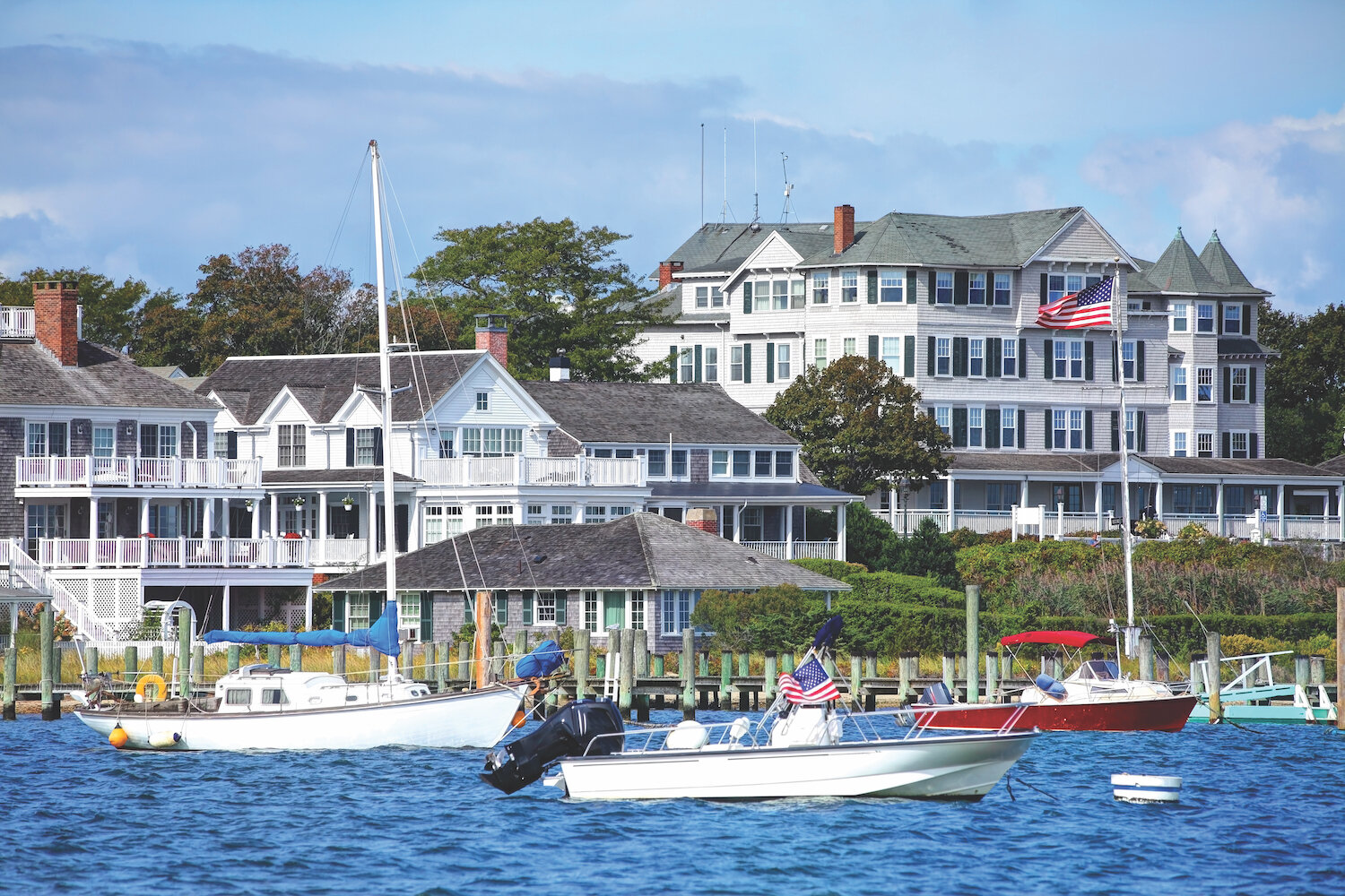
HARBOR AND WATERFRONT DAMAGE The waterfront in downtown Edgartown is the heartbeat of this historic seaside village, yet it is extremely vulnerable to flooding. For example, between Lighthouse Point and the Reading Room along Cooke Street Pier, an estimated 89 structures and one mile of roadway could flood in a 10-year storm.
NATURAL COAST
EROSION Sections of the southern coast have receded as much as 1,500 feet since 1897, with maximum short- and long-term annual rates of 54 and 27 feet, respectively [CIT. 5]. Wasque has been particularly vulnerable, and significant erosion is expected on south-facing shorelines including Norton Point Beach.
MARSH LOSS Regular flooding may reduce 331 of 508 acres (65%) of high marsh, with 227 acres (44%) of overall marsh could be lost [CIT. 2], possibly including marsh in Chappaquiddick and Felix Neck Wildlife Sanctuary.
HABITAT CHANGES Estuarine beach/tidal flats and estuarine open water may both increase by 190 acres (80%) and 105 acres (2%), respectively [CIT. 2].
OCEAN-FACING SHORELINE (36.2 MILES) [CIT. 4]
2050 STORM AND TIDAL FLOODING [CIT. 1,3]
Shoreline types can overlap, not cumulative